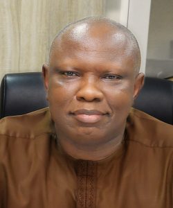
Surv. Robert Coker
Structure and Functions
The Department is structured into (3) Divisions namely:
- Coastal and Offshore;
- Inland Waterways; and
- Lands, Water bodies (dam sites)
Functions
- Preparation and production of charts for all inland, coastal and offshore waterways in the Country in collaboration with the other stakeholders:
- Maintenance of First and Second Order Controls on the inland water areas of the country to enhance navigation and other maritime activities;
- Execution and production of Bathymetric Survey for inland, coastal and offshore waters in collaboration with other stakeholders;
- Provision of Geo-data information needed along the inland and maritime waterways of the country;
- Preparation of charts for inland, maritime and large water bodies;
- Representing the country on behalf of OSGoF on international Hydrographic seminars, workshops and training both internal and external and National Hydrography Policy issues;
- Production of Bathymetric Survey Data of lakes, large volume of water at dam sites and establishment of the Tidal Gauge and related issues;
- Implementation and maintenance of the Sea Boundary of littoral State including the 200m Isobath;
- Collaboration with other stakeholders in the maritime environment for optimum performance;
- Collaboration of Hydrographic stakeholders for the National Hydrographic Office;
- Production of coastal and offshore G.I.S; and
- Coordination and establishment of repository for National Hydrographic data infrastructure in the country, amongst others.

